|
Some places just can’t be hiked easily. You can see it from Mesa Verde, and it dominates the New Mexico side of the Four Corners skyline. Looks like it should be simple, yet when you try to approach Shiprock, none of the maze of dirt roads seems to get you there. There are no signs to direct you, either. 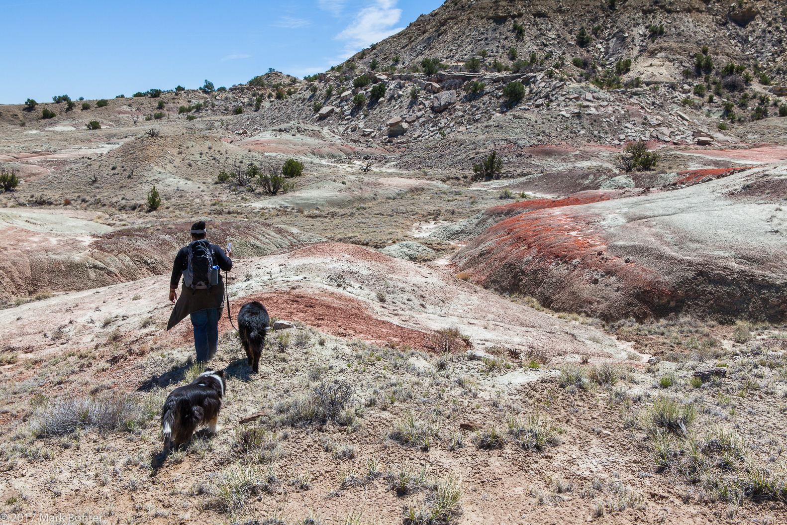 Walking into the west side of Ojito Wilderness – iron-rich sand As we discovered, Ojito Wilderness Study Area has multiple routes. We planned to walk a trail circling the central mesa, a 4-mile hike with less than 800 feet of elevation gain. Finding the trailhead was relatively easy – the online directions we decided on were pretty good. We headed north from Albuquerque on Interstate 25, then angled northwest on US 550. Near San Ysidro and NM 4, we turned onto Cabezon Road and took the righthand fork onto a dirt road. There’s a sign for Ojito WIlderness, and a short drive later, an obvious fenced parking lot. I had noticed what appeared to be a couple different sets of trail directions. For a small WSA, it didn’t occur to me there were different hiking routes. All descriptions mantioned hoodoos and other interesting rock formations, plus some established trail with a bit of off-trail bushwacking. So off we went. 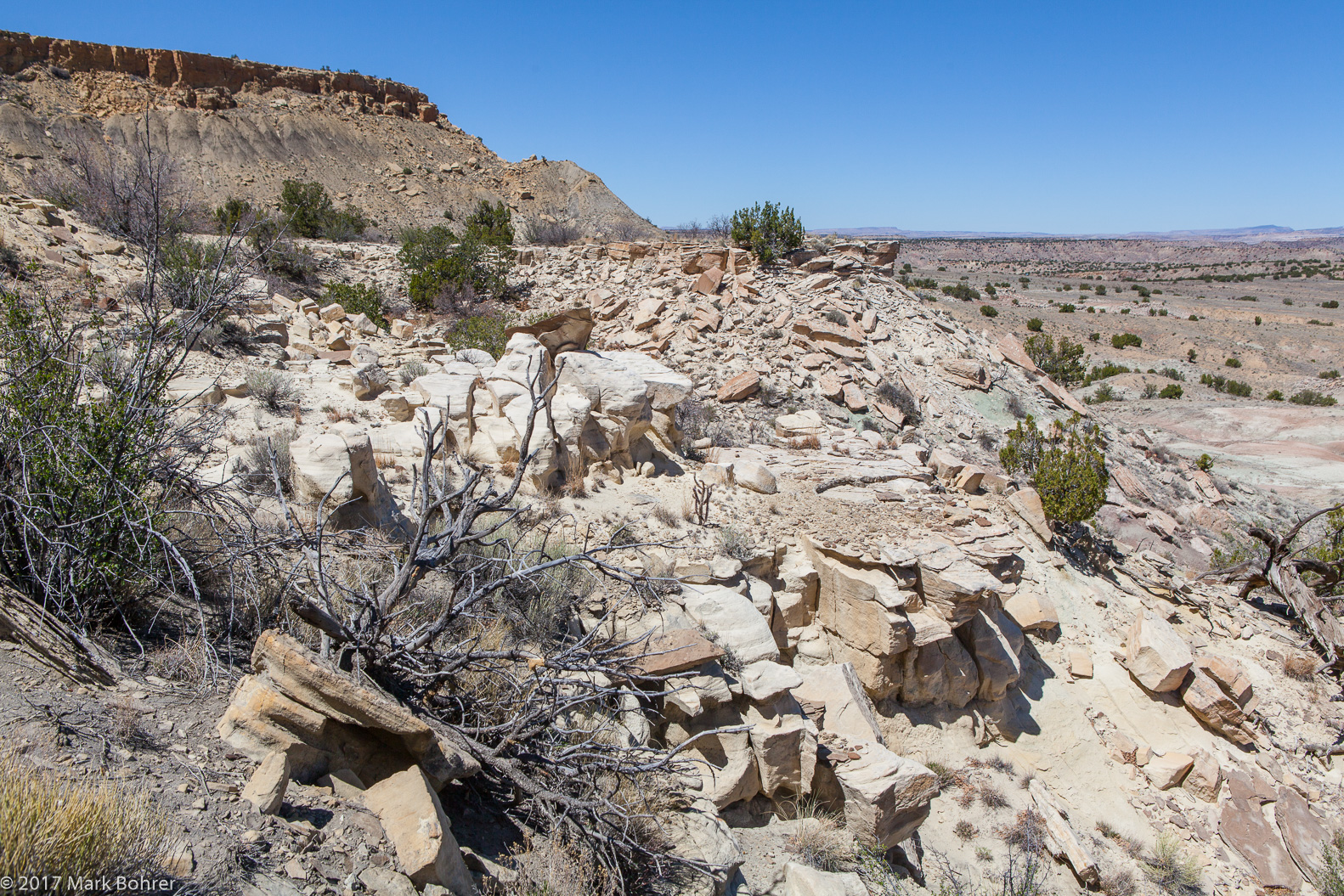 The view north The fenced dirt parking lot was obvious enough, but unlike National Parks and Monuments, ducks and trail markers of any type were MIA. That’s understandable in a WSA, but it meant a one and a half mile bushwack over rocky terrain. If you’re used to the giant stone Rorshach shapes in Bryce or Canyonlands, you’ll need to set your sights a bit lower in Ojito. 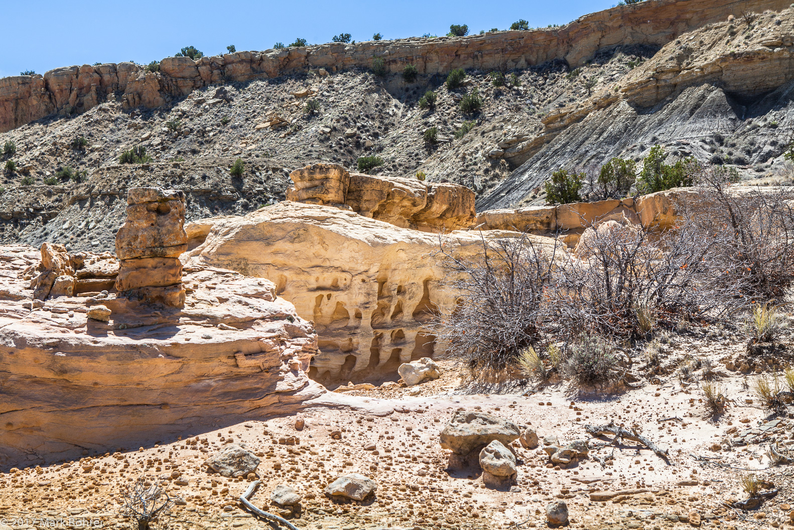 Hoodoos and carved stone Even missing in-your-face hoodoos, there were a few rewards. Reddish soil contrasted with lighter sandstone, hinting at iron minerals. Twisty gnarled juniper remnants contrasted with our Bernese Mountain Dog’s pretzled poses, and yes, we did find some subtle hoodoos. But I’d suggest finding one of the out-and-back trails, or grabbing a mountain bike and riding the White Mesa area instead. 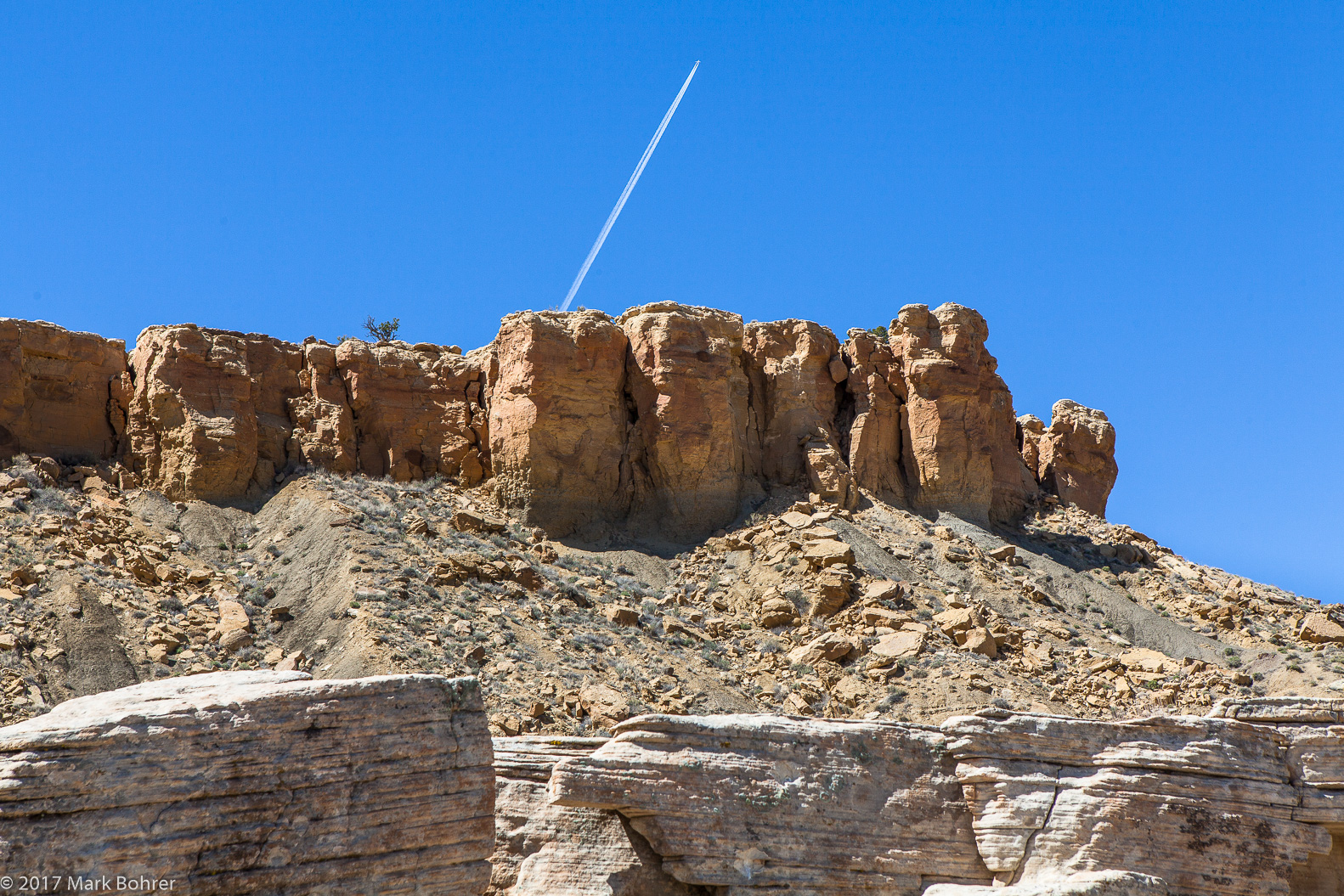 Contrails above the mesa Shot Notes Bring your telephoto zoom, but also be prepared to focus close. I shot with a 24-70mm f/2.8L lens. I mixed up the viewpoints, but always remembering my favorite mantra, “Near and far.” I never shoot a ‘grand scenic’ without some foreground object to anchor it. I didn’t find opportunities to shoot a lens wide-open and isolate with depth of field. No, this was one for leading a viewer’s eye around a scene. 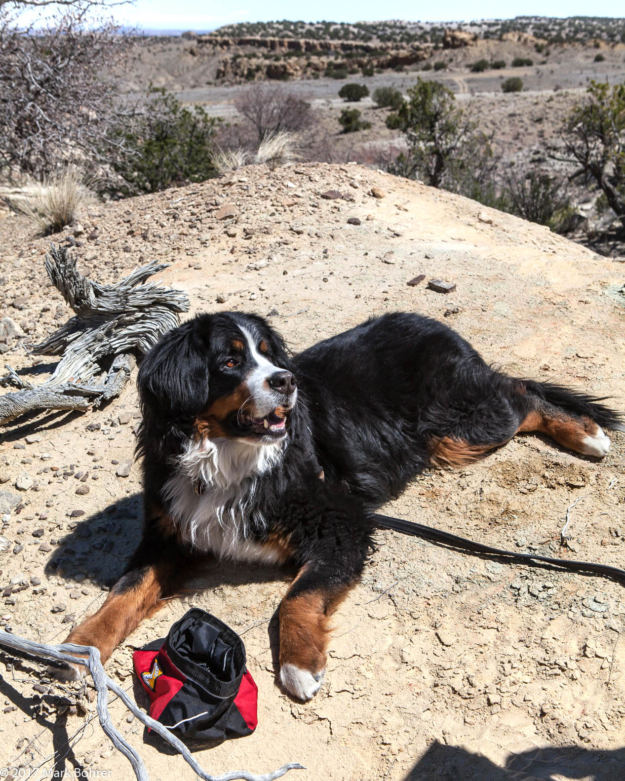 Daisy at Ojito More Information Ojito Wilderness Area, accessed from http://www.americansouthwest.net/new_mexico/ojito/wilderness-area.html Albuquerque, NM: Ojito Wilderness, accessed from http://www.backpacker.com/trips/albuquerque-nm-ojito-wilderness Ojito Wildwerness, accessed from https://www.blm.gov/basic/programs-national-conservation-lands-wilderness-new-mexico-ojito-access-and-trails |
(408) 483-3782
Curious about how to shoot ruins?(408) 483-3782

Recent Comments